Tip Of AI
Discover what you can do with AI
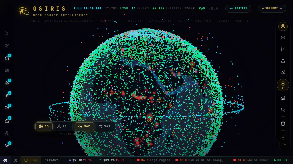
OSIRIS is a browser based open source intelligence platform designed to provide real time global monitoring through an interactive three dimensional and two dimensional globe. It combines multiple public data sources into a unified interface intended as an open source alternative to large scale intelligence platforms. Users can track live aircraft, maritime activity, satellites, worldwide CCTV cameras, weather conditions, earthquakes, wildfires, cyber threats, conflicts, and other global events. The platform includes reconnaissance and investigation tools such as Nmap scanning, DNS lookups, WHOIS queries, SSL certificate analysis, threat intelligence searches, route mapping, document access, remote resources, and ArcGIS integration. It also provides mapped reference information for locations such as nuclear facilities and other significant sites. The interface includes dedicated sections for space data, markets, alerts, drawing on maps, search, and an assistant designed to support intelligence analysis and forecasting. OSIRIS is identified as version 5.0 and presents live status indicators with continuously updated feeds. Its stated coverage includes more than 20 data sources spanning aviation, satellites, surveillance cameras, environmental events, cybersecurity, and geopolitical information. The platform is free and open source, making it potentially useful for researchers, journalists, security analysts, investigators, educators, and users interested in situational awareness and geospatial intelligence.